allonboard
A map viewer for R that draws data in its own coordinate reference system, polar views included.
In development. This is early work, and the design is being worked out in the open. Package names are placeholders and nothing is on CRAN yet. It is ready to try, and feedback is very welcome.
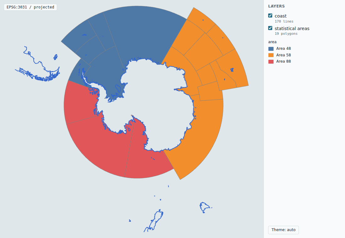
Start here
aobview is the place to start: a mapview-style view(x) for sf and terra, with live examples and a guide to getting involved.
remotes::install_github("allboa/aobview")
library(aobview)
view(your_sf_object)
The repositories
- aobview
view(x)for sf and terra, palettes, legends and popups. Website - aobcoreThe lean core: GeoArrow and COG tiles, scene building, and the renderer.
- scenespecA renderer-neutral scene spec: JSON Schema, fixtures and a validator.
- designThe origin post and charter, decision records, and the contributor brief.
- spikesThrowaway experiments, each ending in a decision record.
Get involved
Try a view of your own data and open an issue with what broke or surprised you. Get involved says where each kind of report or contribution goes.